© Joe Berardi books are available at amazon.com
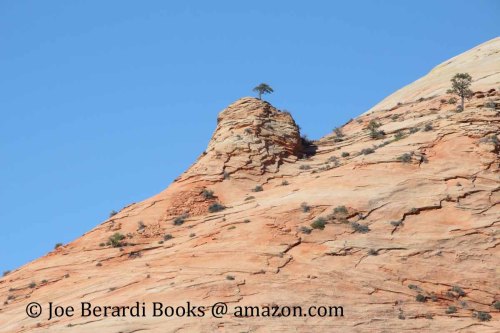
Crack Canyon is in the San Rafael Swell in southern Utah, west of the town of Green River.

This canyon is suitable for a family hike. The upper crack has several obstacles that can be bypassed by walking around them. The lower crack has three dry-falls (down climb) which is best to start from the Behind-the-Reef Road, and descend. If you don’t like the drops, turn around, but the lower part of the canyon has some of the best parts.
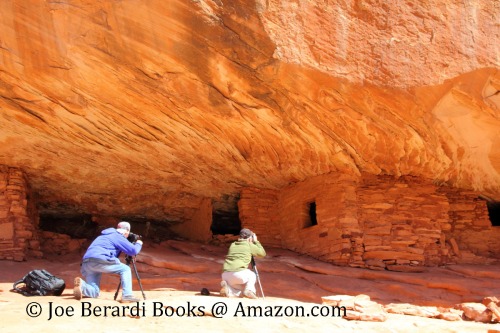
I hiked Crack Canyon September 2013 and although I do almost all of my hikes solo, for this trip to San Rafael Swell, I brought along a fellow professional photographer. The canyons of the swell are very remotes and for safety reasons I needed a hiking companion.
There are numerous books for the area that can be found at amazon.com. An atlas such as “San Rafael Swell 2015 Canyon Atlas” will be useful for finding your way around the area. Photographers might be more interested in the title “Photographing Slot Canyons 4” while hikers may find “Slot Canyon Hikes & Adventures 4” more useful. The GPS coordinates, maps and mileage information in these books should be useful for planning the hike.
Green River and Dirty Devil River and its many tributaries are some of Utah’s premiere slot canyons in the Upper San Rafael Swell Region and it is about 30 miles west of the town of Green River via highway I-70. The small town of Green River makes a good base camp since it has several restaurants, gas stations and lodging including motels and campgrounds.
Crack Canyon
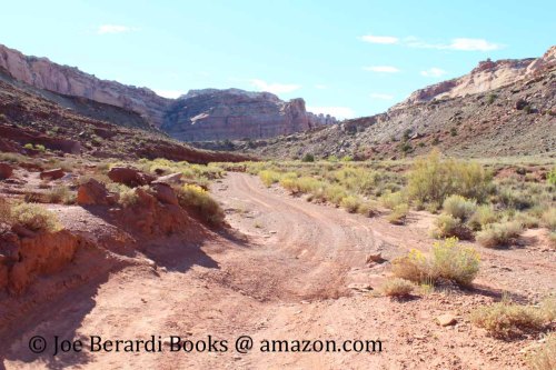
Access 1 – At UT 24 near milepost 136, turn west onto Temple Mountain Rd and drive west for 5 miles to the turnoff for Goblin Valley State Park. Continue heading west where the road changes to an unpaved road. Stay left on Behind-the-Reef Road as it forks left. The trailhead has a sign, information board and a parking area. The wash runs within sight of the trailhead sign. It is about 1.2 miles to 10-ft dry-fall obstacle.

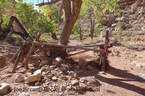
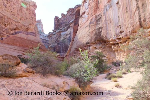
From the information board head south, a minor wash can be seen shortly. Keep going and hike past the wooden fence with a no vehicle sign. On the way was a very small spring bubbling with sulfur smelling water. The wash is fairly wide at this point and the canyon walls are a way off.

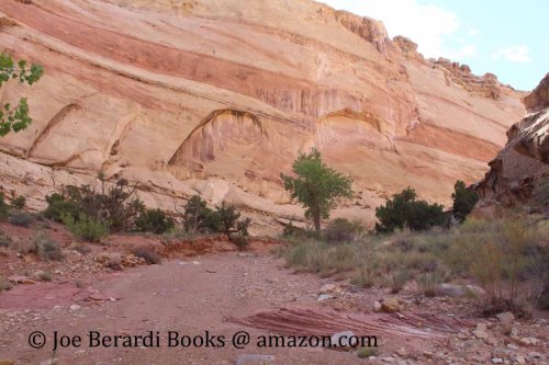
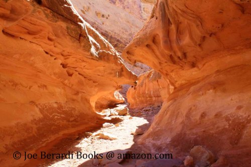
The first red rock dry-fall is easily walked around. Then there is a pot hole which normally holds water on the other side. The hole filled canyon walls start to narrow. The numerous holes in the canyon wall will catch your attention by this point. There is a jagged narrow section prior to the second dry-falls which makes the name of this canyon very appropriate since there is a very large crack forming the roof of this narrows.

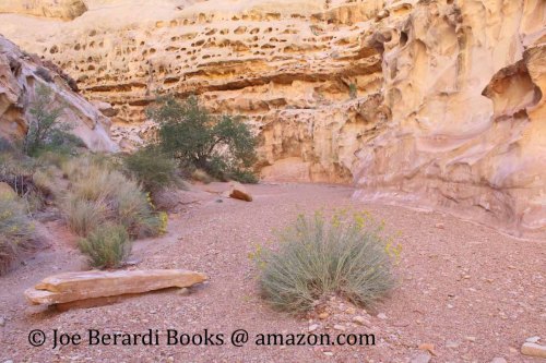
The narrows continue but the roof has faded away and is wide open on top. On my hike the wash opened up again with weeds with yellow flowers and a few small trees. Along the way are small rocks and a few large boulders scattered along the wash. The wash meanders gently downstream.
Again the canyon tightens up and the 10 ft dry-fall cannot be bypassed. Part of the wood fence made out of logs at the beginning of the hike has been dragged to this dry-fall to make climbing it possible for the average hiker. The next half a mile has the more challenging part of the hike requiring some scrambling and there may be small pools of water or mud. Most people return when the canyon opens up again and the terrain becomes less interesting. A photographer could spend the entire day photographing this canyon.

Since some people don’t know that an atlas is a book of maps so if you are looking for detailed trail descriptions or photographs, a hiking guide is what you are looking for, it still has maps just not as many as an atlas.
My newest title covering this area is:
Hiking Guide to San Rafael Swell Slot Canyons in Utah


![Pageflex Persona [document: PRS0000444_00049]](https://joeberardiphotos.wordpress.com/wp-content/uploads/2016/01/hiking_guide_to_escalante_slot_canyons_in_utah_bookcover8x10_color_80_rev0b_front_2inch.jpg?w=259&h=326)
![Pageflex Persona [document: PRS0000444_00049]](https://joeberardiphotos.wordpress.com/wp-content/uploads/2016/01/hiking_guide_to_paria_river_canyons_in_utah_bookcover8x10_color_110_rev2_front_2inch1.jpg)